Giant City State Park is a hiker’s paradise, offering scenic trails through towering sandstone bluffs, lush forests, and unique rock formations. This guide covers everything you need to know- trail lengths, difficulty levels, parking info, and must-see sights, so you can plan the perfect adventure. Whether you’re after an easy stroll or a rugged challenge, this guide has you covered!
About Giant City State Park
235 Giant City Road, Makanda, IL62958
https://dnr.illinois.gov/parks/park.giantcity.html
Free admission
Giant City State Park is one of the most popular state parks in Southern Illinois. There are 8 hiking and 1 equestrian trail ranging from easy to rugged difficulty. Most trails are short, but there is a 12 mile backpacking trail. Giant City also connects to the River to River Trail, a 160 mile regional trail.
Tips for Visiting Giant City State Park
Hiking Gear to Bring
- Hiking Boots or Trail Shoes – The trails here can be rocky and uneven, so good footwear is a must. If you don’t already have a pair, check out these highly-rated waterproof hiking boots.
- Daypack – A small backpack is perfect for carrying water, snacks, and any extras you need. Something lightweight and comfortable, like this one with plenty of pockets, works great.
- Water Bottle or Hydration Pack – Giant City can get humid, so you’ll want plenty of water. A reusable water bottle or a hydration pack makes it easy to stay hydrated.
- Bug Spray – If you’re hiking in spring or summer, the mosquitoes can be relentless. This DEET-free bug spray is a solid option.
- Sunscreen – Some parts of the trails are shaded, but you’ll still get plenty of sun exposure. A sweat-proof sunscreen is a smart pick.
- Hat & Sunglasses – Protect your face and eyes from the sun, especially on more open trails. A breathable wide-brim hiking hat and a pair of polarized sunglasses do the trick.
- Snacks – Hiking works up an appetite! Trail mix, granola bars, or even these easy-to-pack energy chews are great for a quick boost.
- Trekking Poles – Some trails, like the Red Cedar or Indian Creek Trail, have uneven terrain. If you like extra stability, these collapsible trekking poles are worth considering.
- Lightweight Rain Jacket – Southern Illinois weather can be unpredictable. A packable waterproof jacket is a lifesaver if a pop-up storm rolls in.
- First Aid Kit – Just a small one with band-aids, blister pads, and antiseptic wipes. This compact hiking first aid kit is perfect for day hikes.
- Navigation – Cell service is spotty on some trails. Download maps ahead of time on AllTrails, or bring a pocket-sized trail map if you like having a backup.
Not everything on this list is a must-have, but having the right gear can make your hike way more enjoyable! Anything you’d add to the list? Let me know in the comments!
Weather in Southern Illinois
Hiking in Southern Illinois is a year-round activity, but the weather can vary dramatically by season, so it’s important to be prepared. The region has hot summers, mild winters, and plenty of rainfall throughout the year.
- Spring (March–May): Spring is one of the best times to hit the trails, with comfortable temperatures (highs in the 60s-70s°F) and wildflowers in full bloom. However, this season also brings frequent rain, so expect muddy trails and seasonal waterfalls at their peak. Waterproof hiking boots and rain gear are a must.
- Summer (June–August): Summers in Southern Illinois are hot and humid, with temperatures often in the 80s and 90s°F and high humidity making it feel even hotter. Afternoon thunderstorms are common, so check the forecast before heading out. Start hikes early in the morning to beat the heat, bring extra water, and be mindful of ticks, mosquitoes, and other bugs that thrive in the warm weather.
- Fall (September–November): Fall is arguably the best season for hiking, with cooler temperatures (50s-70s°F), low humidity, and stunning fall foliage, especially in October. Trails are usually dry and in great condition, making it a popular time to explore. Layers are key since mornings can be chilly, but afternoons warm up.
- Winter (December–February): Winters are mild compared to northern parts of the Midwest, but temperatures can still drop into the 20s-40s°F, with occasional snow or ice. Many trails remain open and accessible, but rocky or shaded areas can be slick. Dress in layers, wear insulated waterproof boots, and keep an eye on the forecast for any sudden temperature drops.
No matter the season, it’s always a good idea to carry plenty of water, wear sturdy footwear, and check trail conditions before heading out. Southern Illinois offers incredible hiking year-round, you just need to be prepared for whatever Mother Nature throws your way!
Giant City State Park Trails Overview
(Click on each trail name to go directly to trail description and details)
| Trail Name | Distance | Difficulty | Points of Interest |
| Arrow-Wood Self-Interpretive Trail | 0.3 miles | Moderate-Difficult | Interpretive guides to trees |
| Devil’s Standtable | 0.3 miles | Moderate | Iconic rock structure |
| Indian Creek | 0.75 miles | Moderate | Rock bluff shelters used by Indigenous people |
| Giant City Nature Trail | 1 mile | Moderate | Namesake “streets”- narrow passageways made of rock |
| Post Oak | 0.3 miles | Easy | Most accessible trail option |
| Red Cedar | 12 miles | Rugged | Option for backpacking |
| Stonefort | 0.3 miles | Moderate | Prehistoric stonefort |
| Trillium | 2 miles | Rugged | Amazing spring wildflowers |
| Equestrian | 12 miles | Moderate | Only trail open to horseback |
Giant City State Park Trail Map
A full map of Giant City State Park can be found on the park website here.
Arrow-Wood Self-Interpretive Trail
✵
0.3 miles
✵
Moderate
✵
Loop
Parking and Trailhead on Google Maps
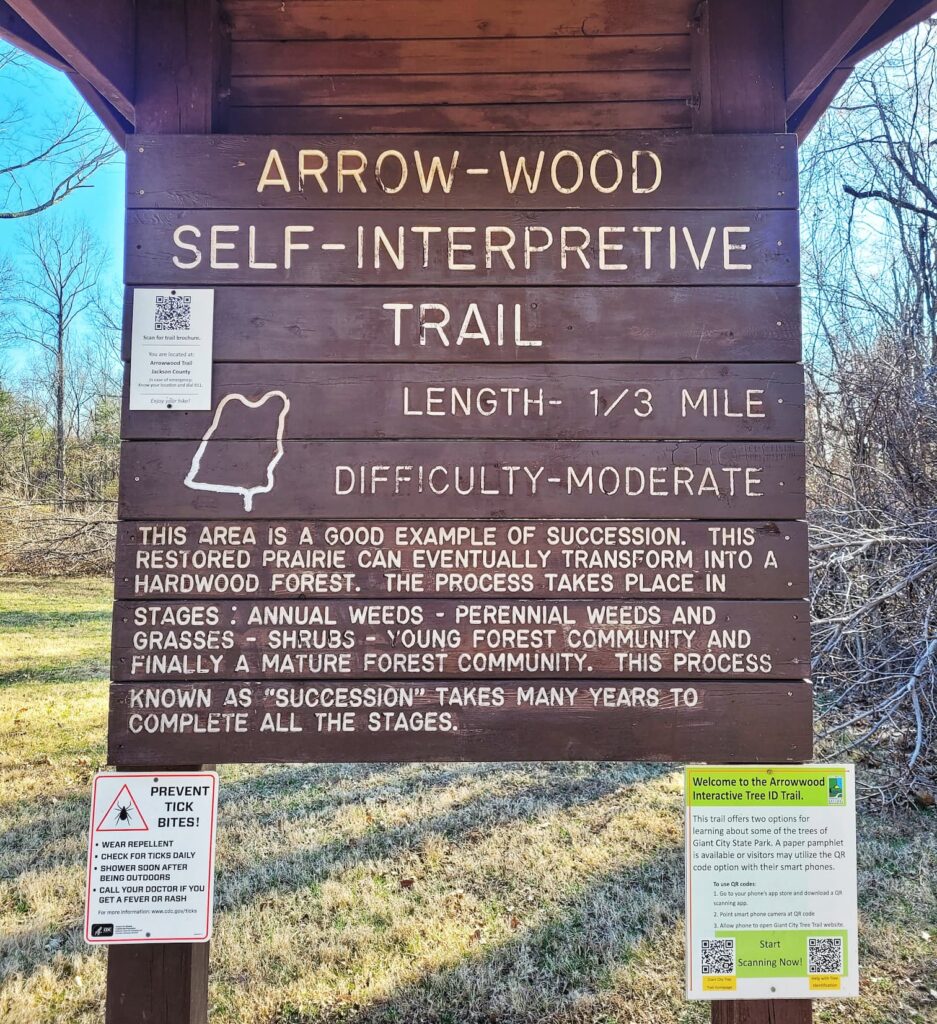
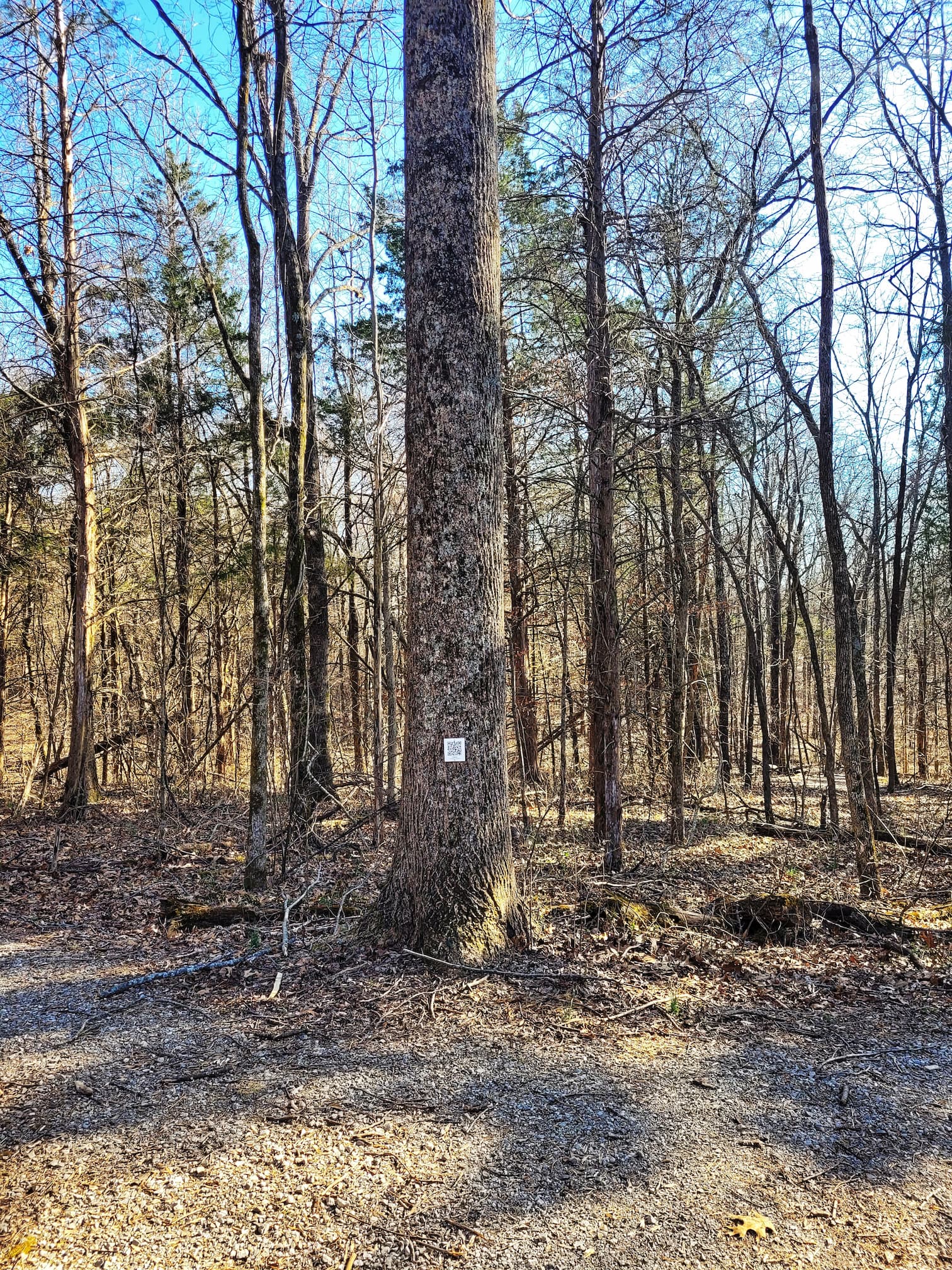
The Arrow-Wood Self-Interpretive Trail at Giant City State Park is a super chill, self-guided hike that’s perfect if you’re curious about trees but don’t want to feel like you’re in a classroom. You can grab a paper pamphlet at the visitor center or just scan the QR codes posted on trees along the way to learn about different species- how to ID them, cool facts, and even how people have used them over time. The trail starts in a restored Illinois tallgrass prairie before leading you into the woods, giving you a firsthand look at forest succession (basically, how a forest changes and grows over time). It’s a fun, low-key way to explore nature while picking up some interesting tidbits along the way!
Devil’s Standtable Trail
✵
0.3 miles
✵
Moderate
✵
Loop
Parking and Trailhead on Google Maps
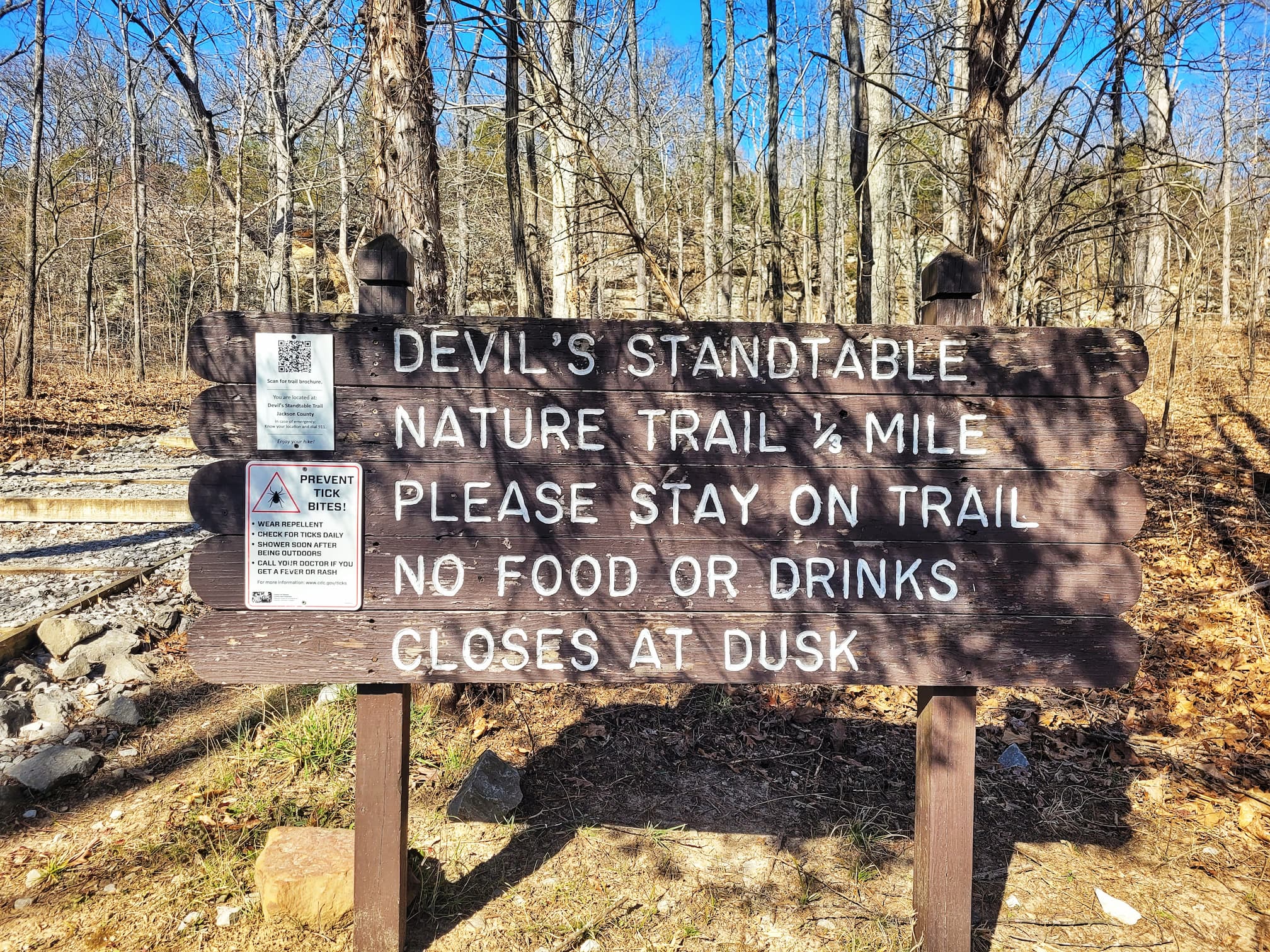
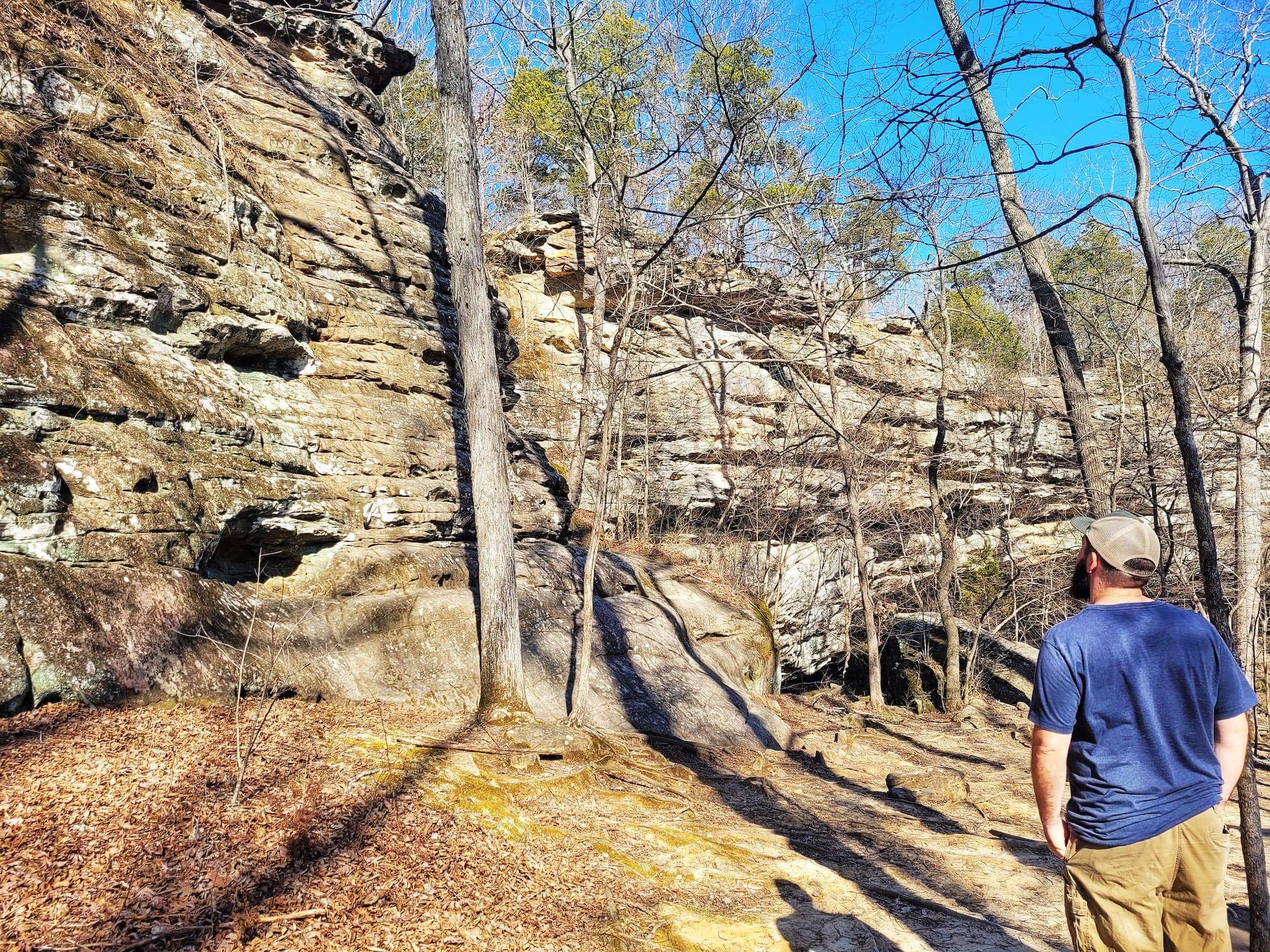
Devil’s Standtable Trail may be short, but it packs in plenty of scenery and some seriously cool geology. The star of the show is Devil’s Standtable itself, a towering sandstone pillar that’s been shaped by erosion over thousands of years. Locals once called it “the mushroom rock” because of its shape, but others thought it looked like a pulpit fit for the devil, hence the name. Either way, it’s a striking sight and a great example of nature’s slow but steady handiwork.
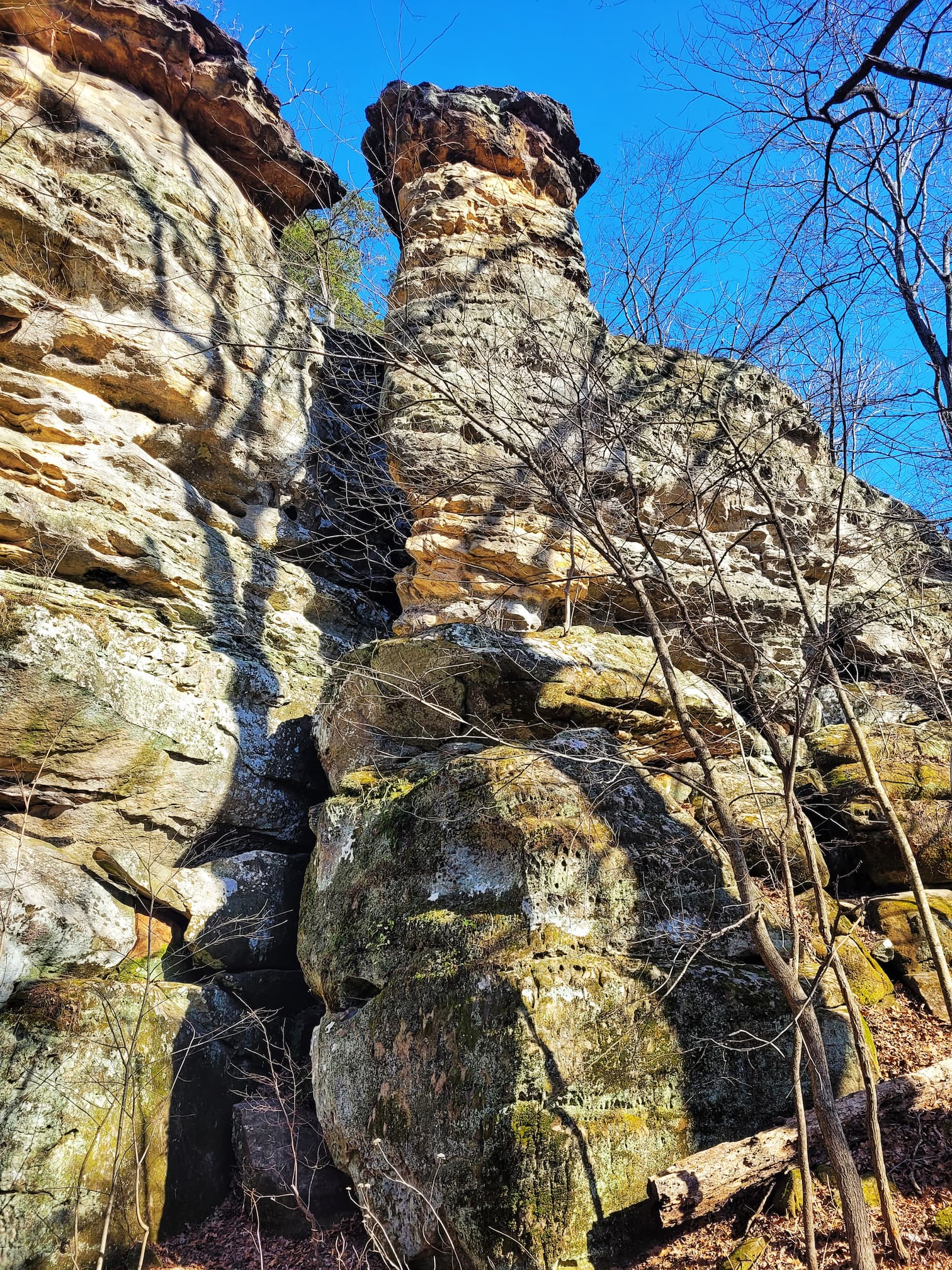
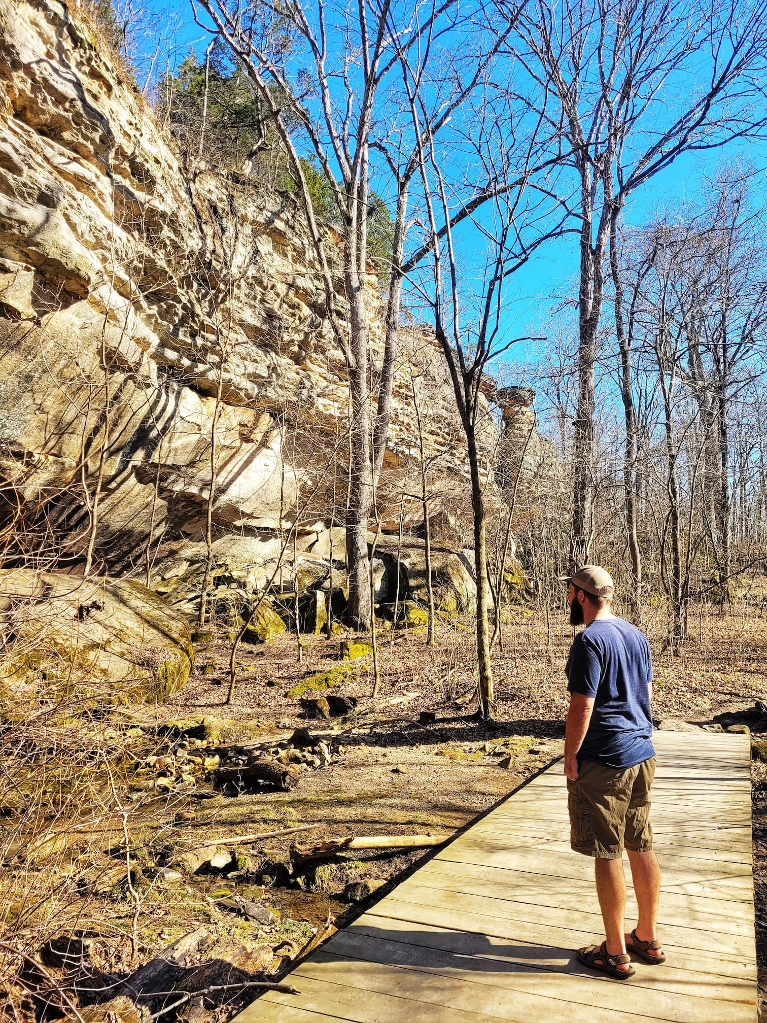
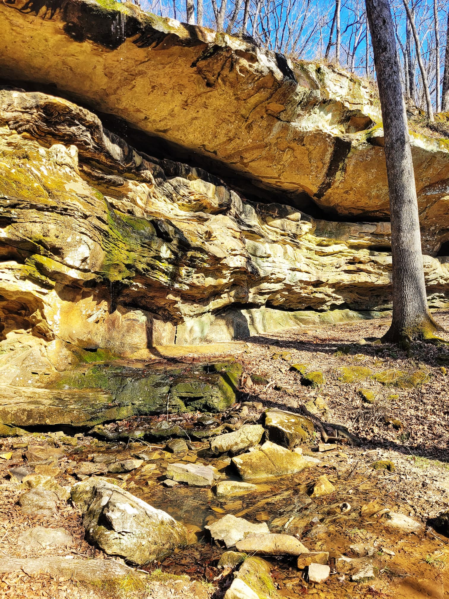
The surrounding sandstone bluffs tell an even bigger story, going back about 300 million years when Illinois was a steamy swamp. Over time, trees and plants fell into the muck, got buried by sediment, and eventually turned into coal. As the landscape shifted, the swamps drained into a shallow sea, and this area became a river delta. Sandbars, shoals, and dunes got compacted into the rock formations we see today. Then, around 270 million years ago, earthquakes caused the land to fracture and rise, shaping the hills and bluffs that now range from 350 to 1,000 feet in elevation. The rock shelter overhangs you’ll see along the trail formed because the softer sandstone near the base eroded faster than the harder layers above. Prehistoric people once used these shelters as homes, and if you look closely, you might even spot pieces of chert- remnants of ancient tool-making. As for Devil’s Standtable itself, it’s thought to have formed during the Illinoisan glacial period about a million years ago when a large block of rock slipped away from the cliff. Over time, the lower part eroded faster than the top, leaving behind the flat “table” and its narrow pedestal. It’s a fascinating mix of history, geology, and legend all packed into one little hike!
Indian Creek Trail
✵
0.75 miles
✵
Moderate
✵
Loop
Parking and Trailhead on Google Maps
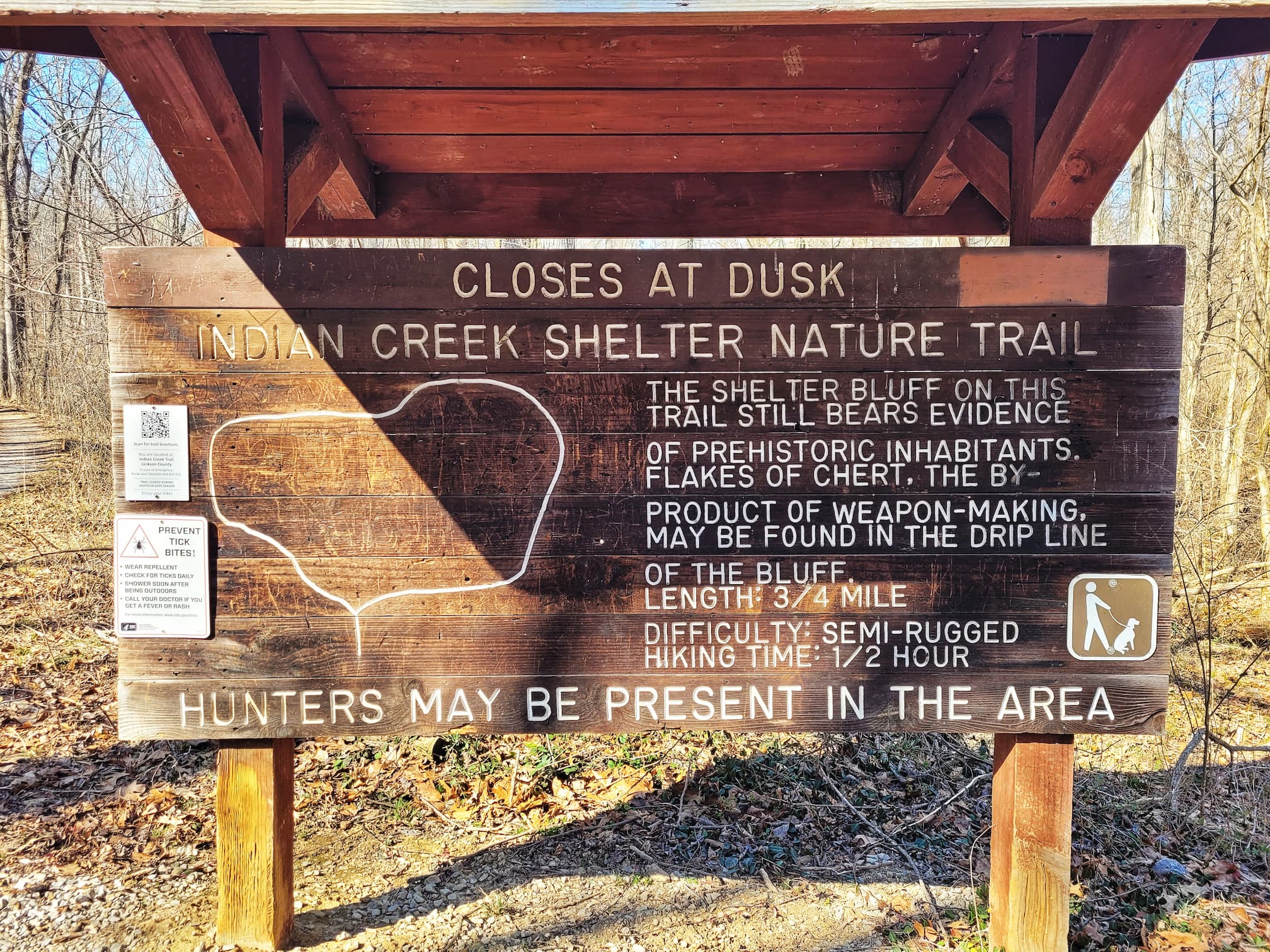
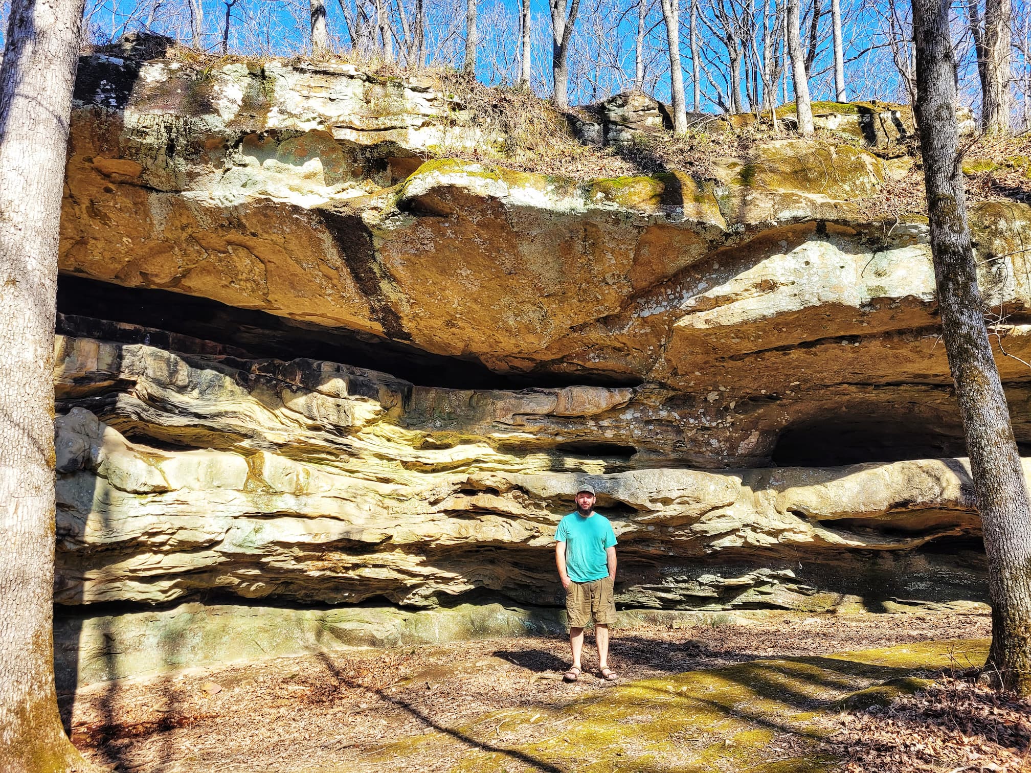
If you’re looking for a hike with a little more adventure, Indian Creek Trail is the way to go. This moderately challenging trail takes you through a mix of lush forests, rocky bluffs, and creek beds, giving you a taste of Giant City’s more rugged side. There are some steep inclines and rocky sections to keep things interesting, but the payoff is worth it, especially after a good rain, when seasonal waterfalls appear along the way. The trail follows parts of Indian Creek, an intermittent spring that only flows after heavy rainfall or snowmelt, so depending on when you visit, you might be crossing a dry creek bed or listening to the sound of running water.
Beyond the scenery, this area has a deep history. Between 400 and 900 AD, Late Woodland nomadic Indigenous people lived in the bluff shelters along the creek, using the water for drinking, washing, and fishing. The rock shelters and caves provided natural homes, and if you look closely near the drip lines of these shelters, you might spot flakes of chert- evidence of ancient tool-making. Since there’s no natural chert in the park, we know these early inhabitants traveled miles to collect it, likely sourcing “Clear Creek Chert” from what’s now the town of Cobden, about eight miles away. It’s incredible to think that while you’re hiking this rugged trail, you’re walking the same paths used by people over a thousand years ago.
Giant City Nature Trail
✵
1 mile
✵
Moderate
✵
Loop
Parking and Trailhead on Google Maps
Also accessible from Second Lower Playground
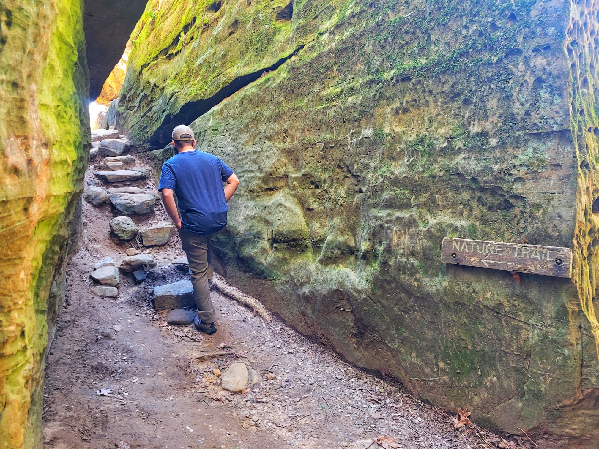
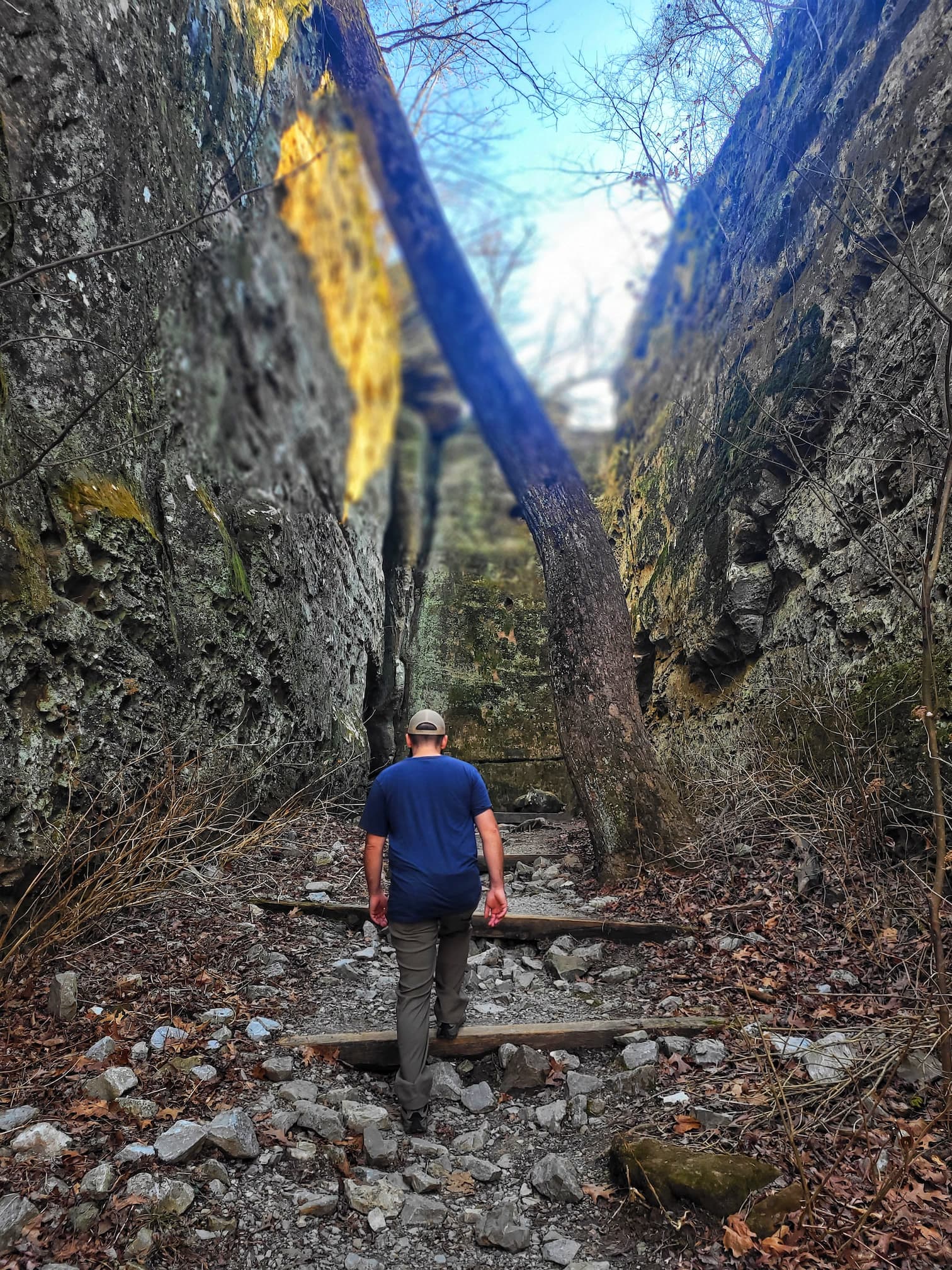
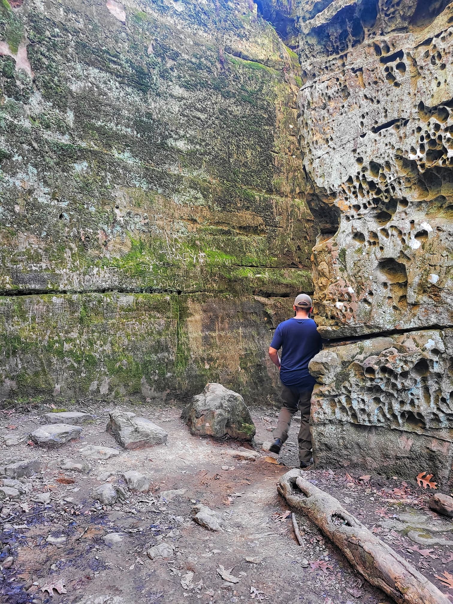
The Giant City Nature Trail is hands-down the most famous hike in Giant City State Park, and for good reason. This 1-mile loop takes you through towering sandstone bluffs, past fascinating rock formations, and right into the heart of what gives the park its name, the Giant City Streets. These narrow passageways between massive rock walls were formed by erosion over thousands of years, creating a maze-like landscape that feels like something straight out of an adventure movie. Walking between these towering cliffs, you can really appreciate just how much time and nature have shaped this place.
Another highlight of the trail is Balanced Rock, a huge boulder that looks like it just happened to roll into place and get stuck. Most of the rock movement in this area happened during the melting of ancient glaciers, so Balanced Rock has likely been sitting in its spot for thousands of years. But the human history here is just as interesting as the geological one. Back in the 1930s, the Civilian Conservation Corps (CCC) was hard at work in the park, and you can still see their influence today. Look closely, and you’ll find CCC-era chiseled steps, flagstone borders, and even carvings in the rock, essentially historic graffiti left behind by the workers who built much of the park’s infrastructure. With its mix of natural wonders and hidden history, the Giant City Nature Trail is a must-hike for anyone visiting the park.
Post Oak Trail
✵
0.3 miles
✵
Easy
✵
Loop
Parking and Trailhead on Google Maps
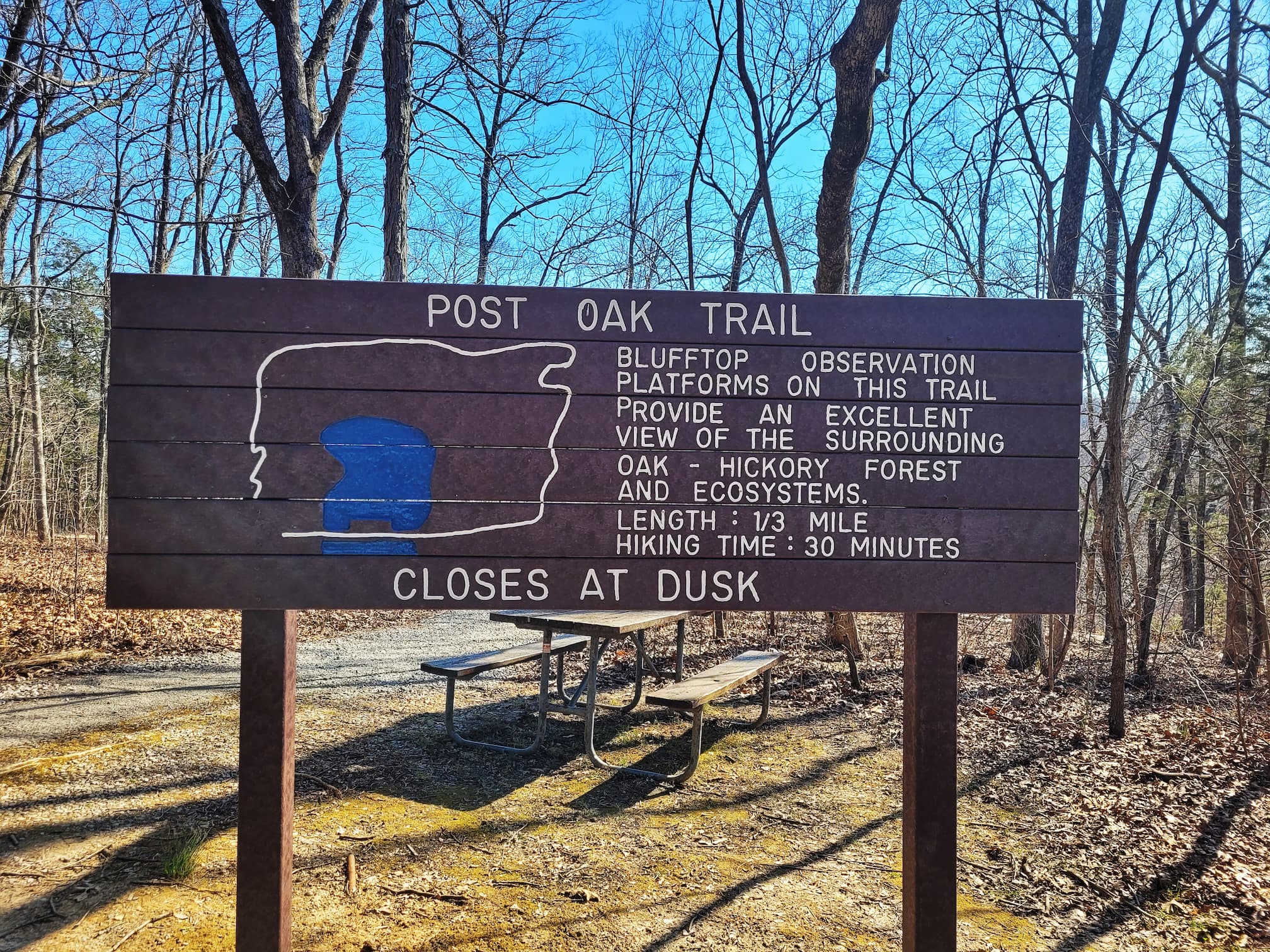
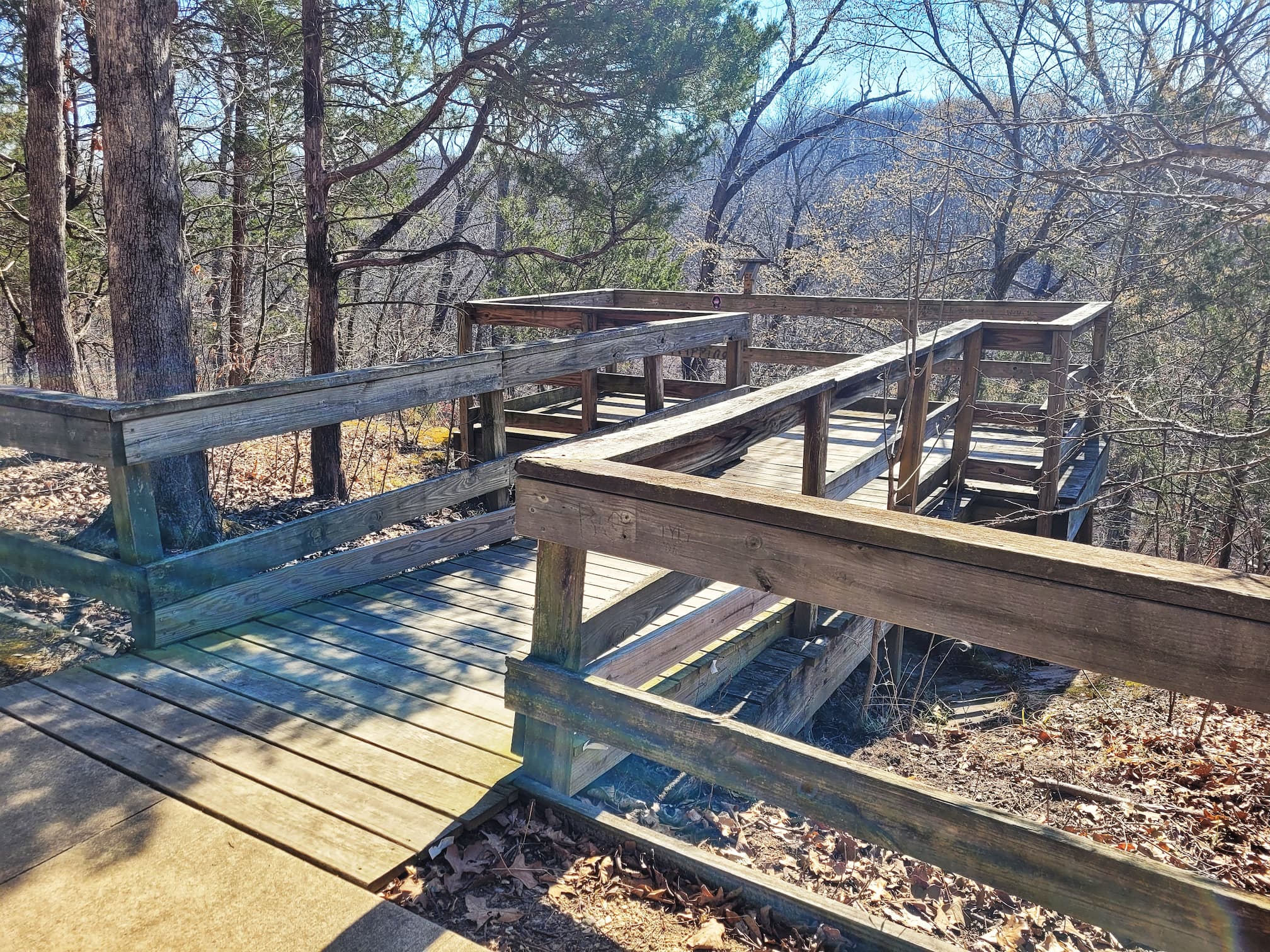
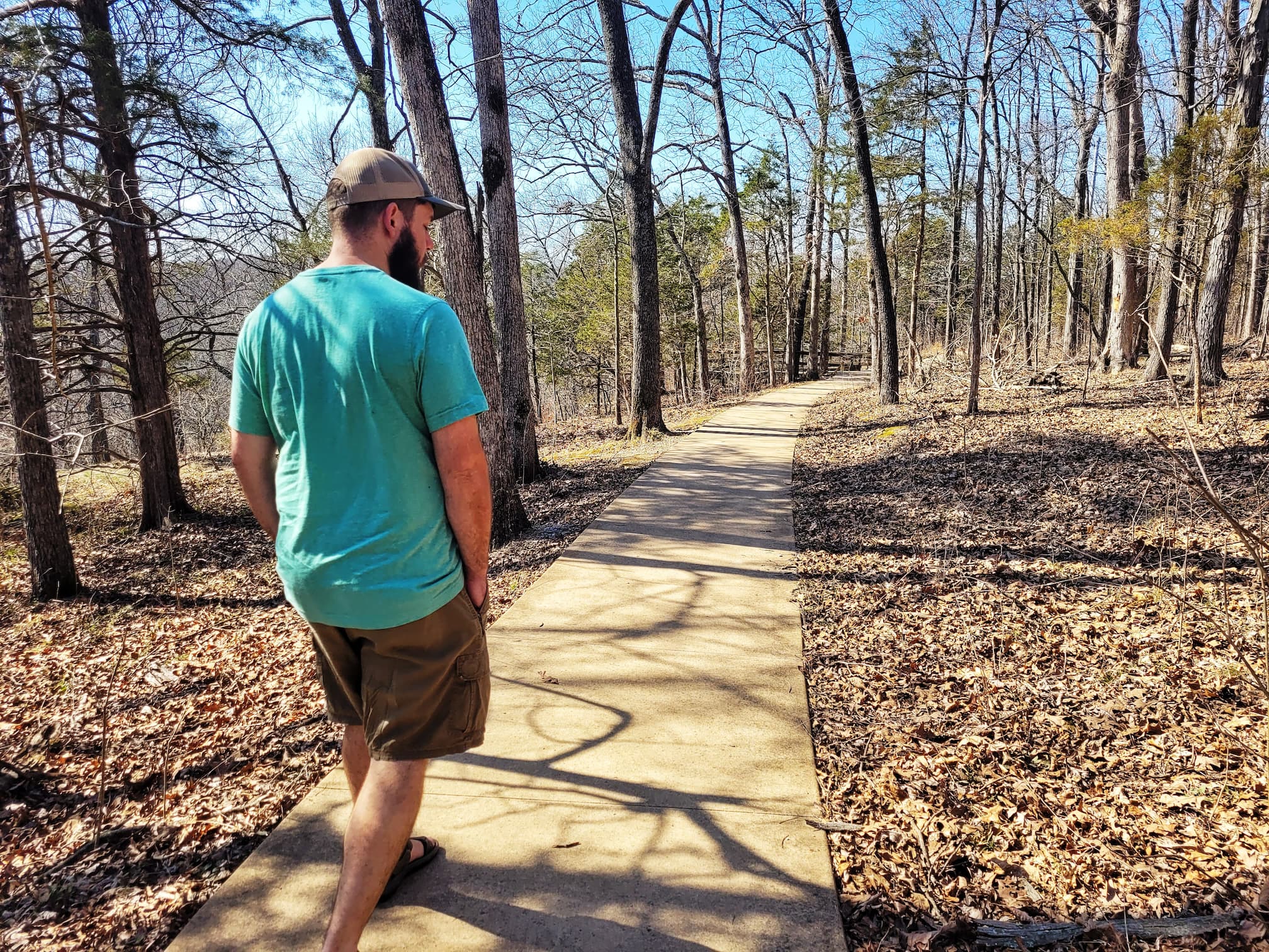
The Post Oak Trail is a short but scenic walk that gives you a classic taste of Southern Illinois’ forests without much effort. Winding through towering oak and hickory trees, this easy trail is perfect for a quick nature break, especially in spring when wildflowers pop up along the path. Built in 1978 with accessibility in mind, the trail is wide enough for wheelchairs and strollers, though some sections do have a bit of uneven surface. Along the way, you’ll find observation platforms where you can pause to take in views of the bluffs, a peaceful little pond, and the surrounding woodlands. It’s a great option if you’re looking for a relaxed stroll with plenty of nature to enjoy.
Red Cedar Trail
✵
12 miles
✵
Rugged
✵
Loop
Parking and Trailhead on Google Maps
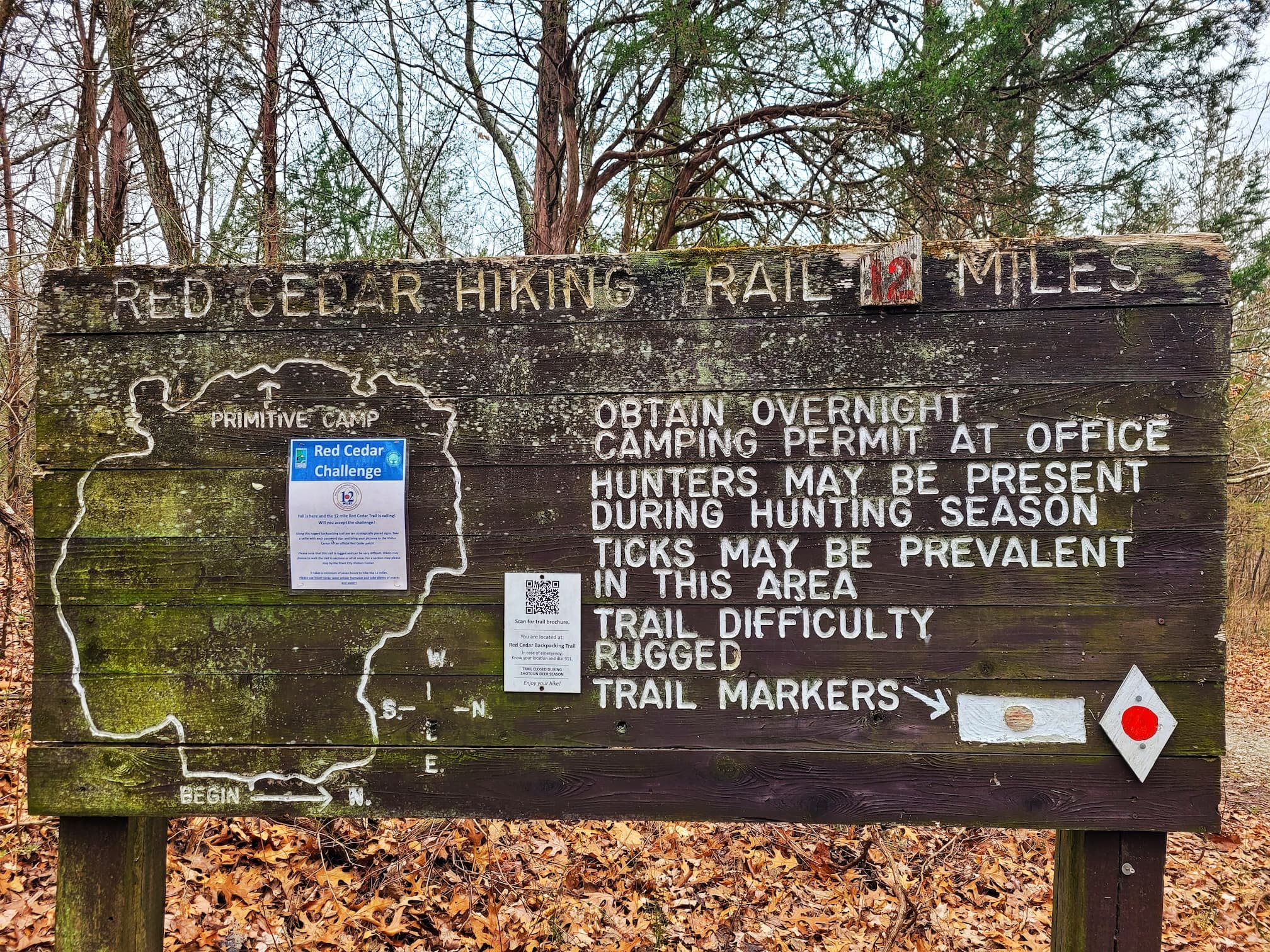
The Red Cedar Trail is Giant City State Park’s longest and toughest hike, offering a true backcountry experience for those ready to take on the challenge. Marked by red circle blazes on white diamonds, this rugged trail winds through steep climbs, creek crossings, and scenic overlooks, making it as rewarding as it is demanding. Unlike the park’s more popular trails, Red Cedar is not maintained or traveled as frequently, adding to its wild, remote feel. The trail starts at the main campground and can be completed in a full day if you’re a fast hiker (about seven hours), but if you prefer a more leisurely pace, plan for an overnight trip at the primitive campground located about halfway. If you’re camping, you’ll need a permit, which you can grab at the visitor center or campground check-in booth.
Designed for long-distance hiking, the Red Cedar Trail also intersects with the Horse Trail and the River to River Trail, making it part of a much larger regional network. Camping is only allowed in designated areas, and the trail is closed during shotgun deer season, so plan accordingly. Whether you tackle it as a challenging day hike or an overnight backpacking adventure, Red Cedar offers a rugged, less-traveled side of Giant City that’s perfect for hikers looking to push themselves and escape into nature.
Stonefort Trail
✵
0.3 miles
✵
Moderate
✵
Loop
Parking and Trailhead on Google Maps
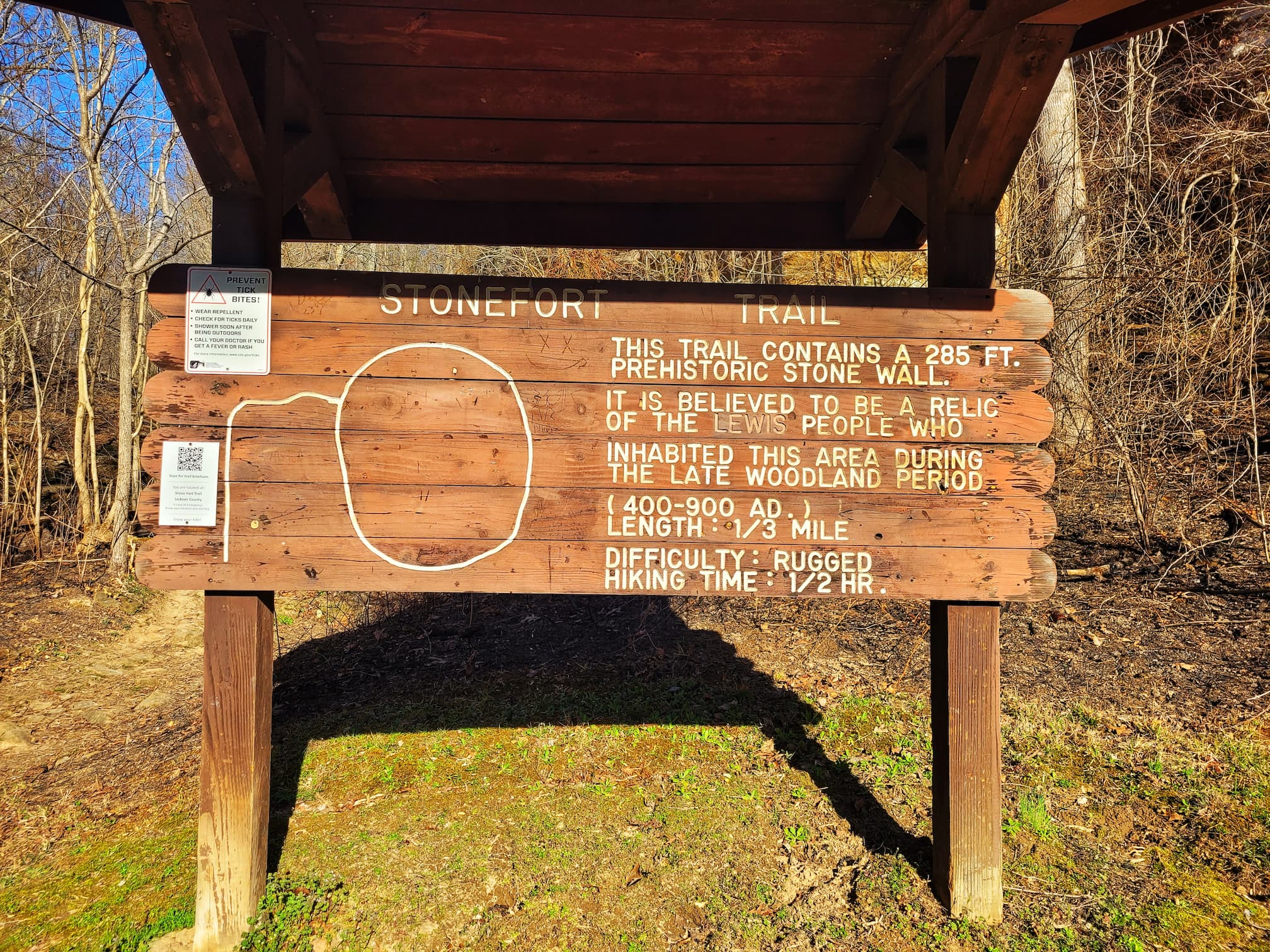
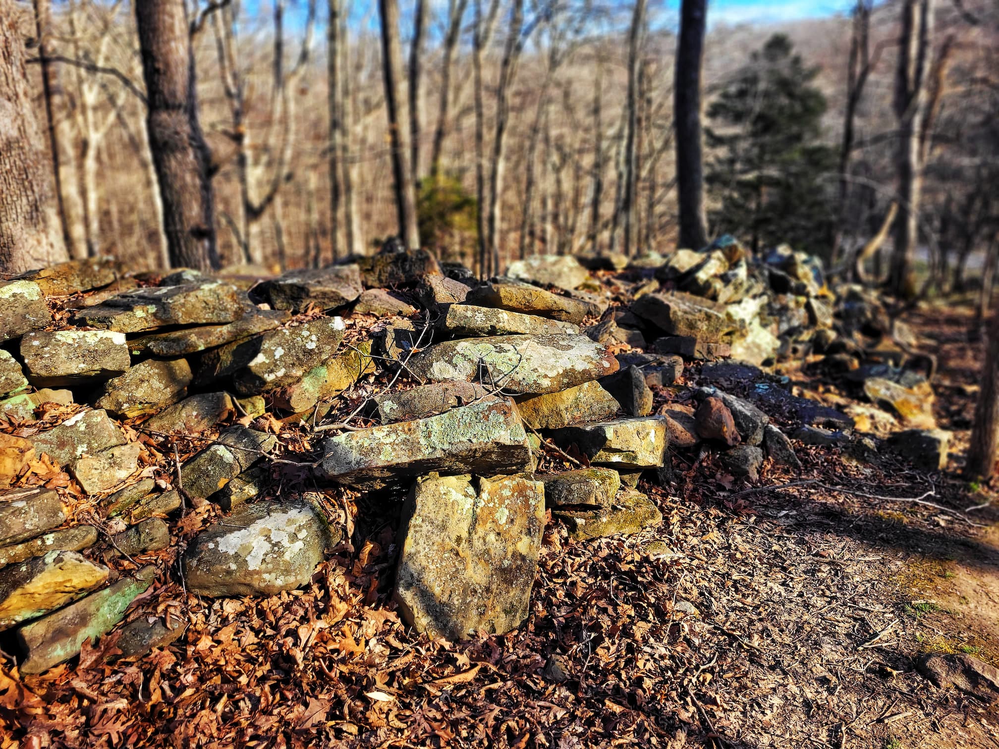
The Stonefort Trail is a short but fascinating hike that leads to one of Giant City’s most mysterious landmarks- a 285-foot-long prehistoric stone wall. Believed to have been built by the Lewis people during the Late Woodland period (400–900 AD), this ancient structure sits atop a rocky bluff, offering both a glimpse into the past and some beautiful scenic views. While the original wall has long since crumbled, the Civilian Conservation Corps (CCC) reconstructed a portion of it in the 1930s, giving visitors a sense of what it might have looked like centuries ago.
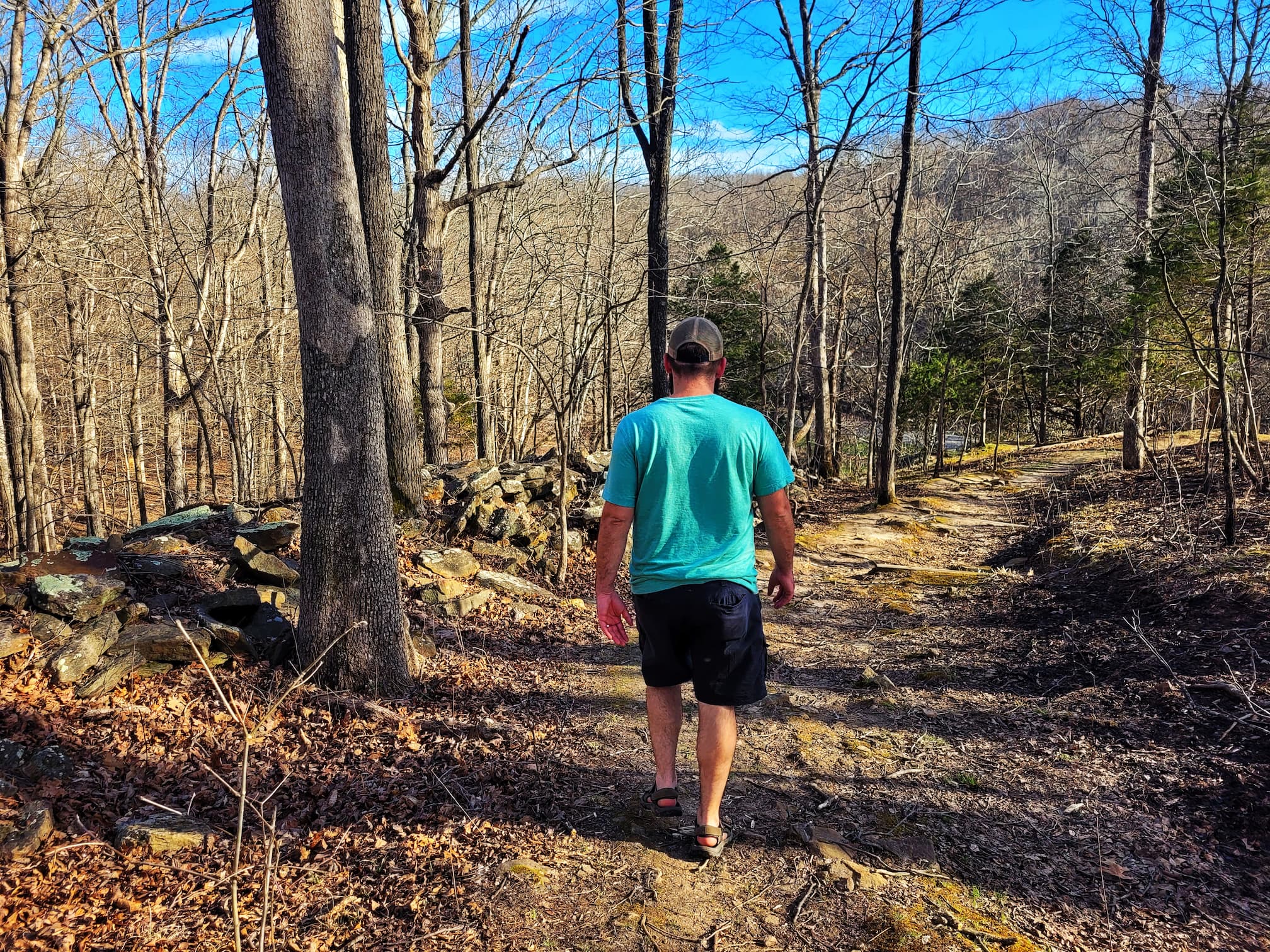
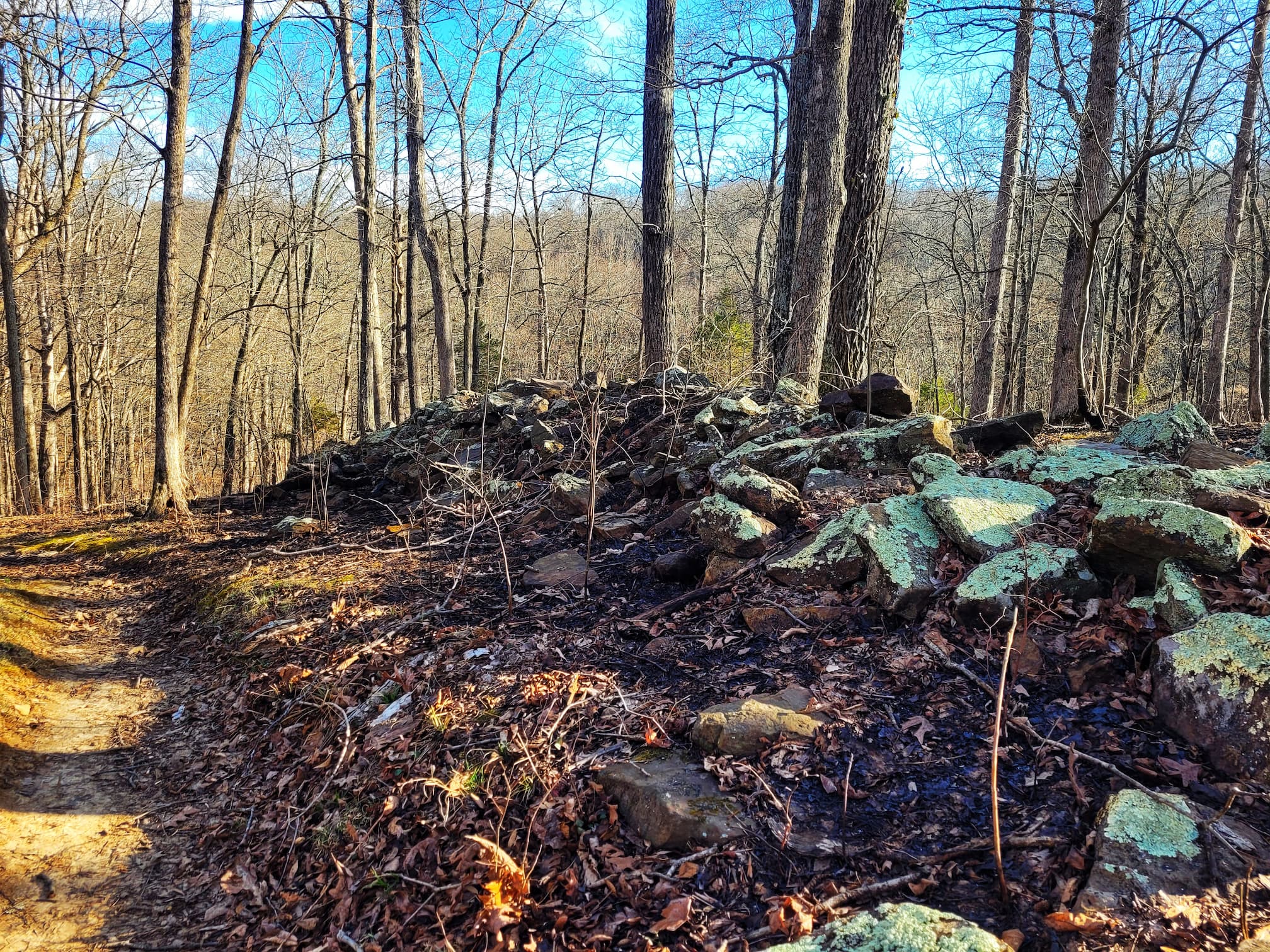
Unlike traditional villages or permanent settlements, stone forts like this one, of which there are at least 10 in Southern Illinois, weren’t used as long-term homes. The limited number of artifacts found at these sites suggests they were occupied for short periods, possibly serving as neutral trading grounds where different Indigenous groups could meet. As you walk this trail, you’ll pass towering rock formations and interpretive signs that help piece together the history of this ancient structure, making it an easy but rewarding hike for history buffs and nature lovers alike.
Trillium Trail
✵
2 miles
✵
Rugged
✵
Loop
Parking and Trailhead on Google Maps
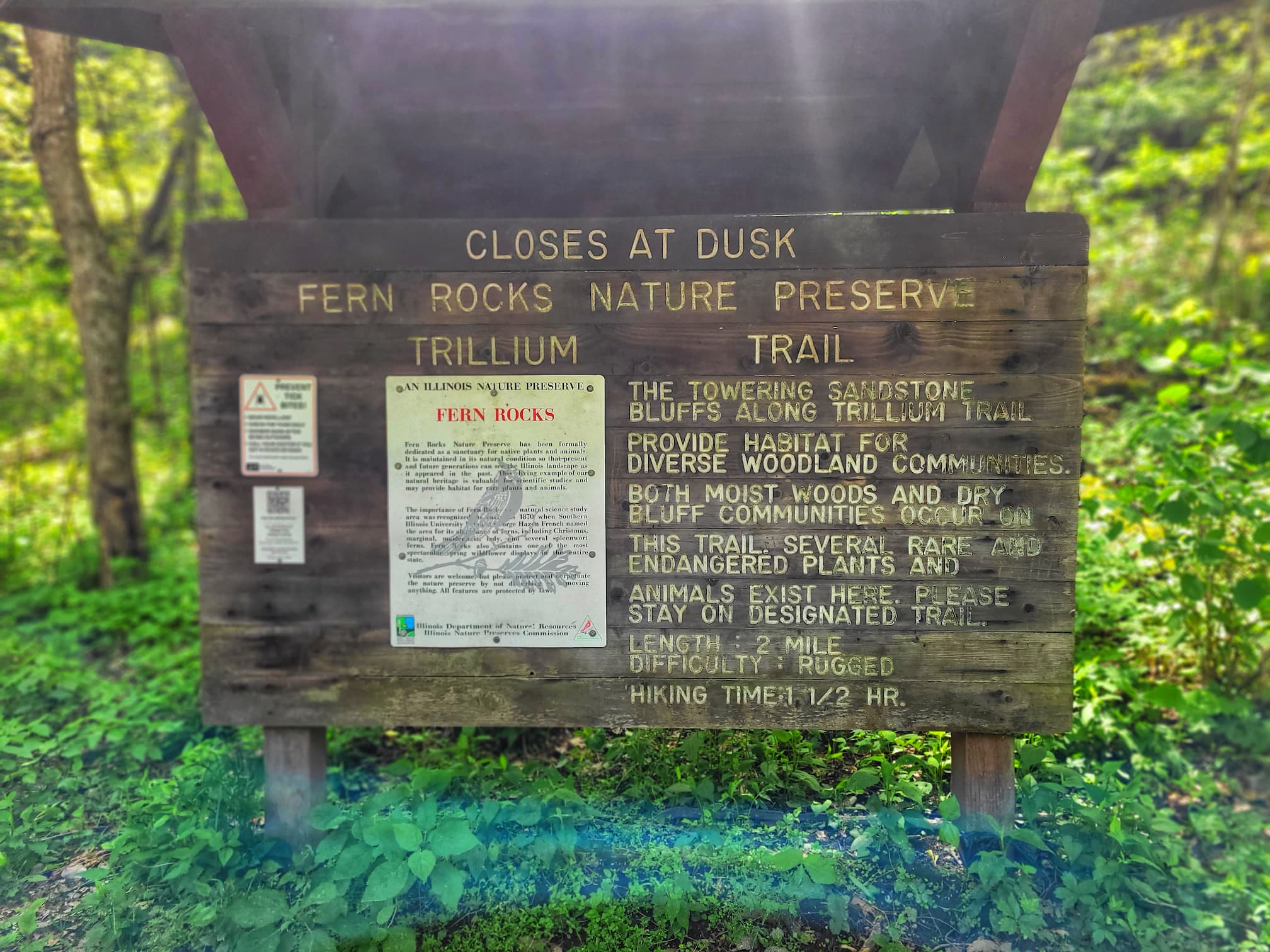
The Trillium Trail is a must-hike in early spring when the forest floor explodes with wildflowers, including its namesake trillium, along with bluebells, mayapples, and violets. This moderately challenging trail winds through dense forests, rolling hills, and rocky outcrops, offering a mix of peaceful woodland scenery and a solid hiking workout. Some sections feature steep inclines and uneven terrain, making it a great choice for those looking for something a little more rugged. But the real magic happens in April and May, when the blooming wildflowers transform the trail into a vibrant, colorful display.
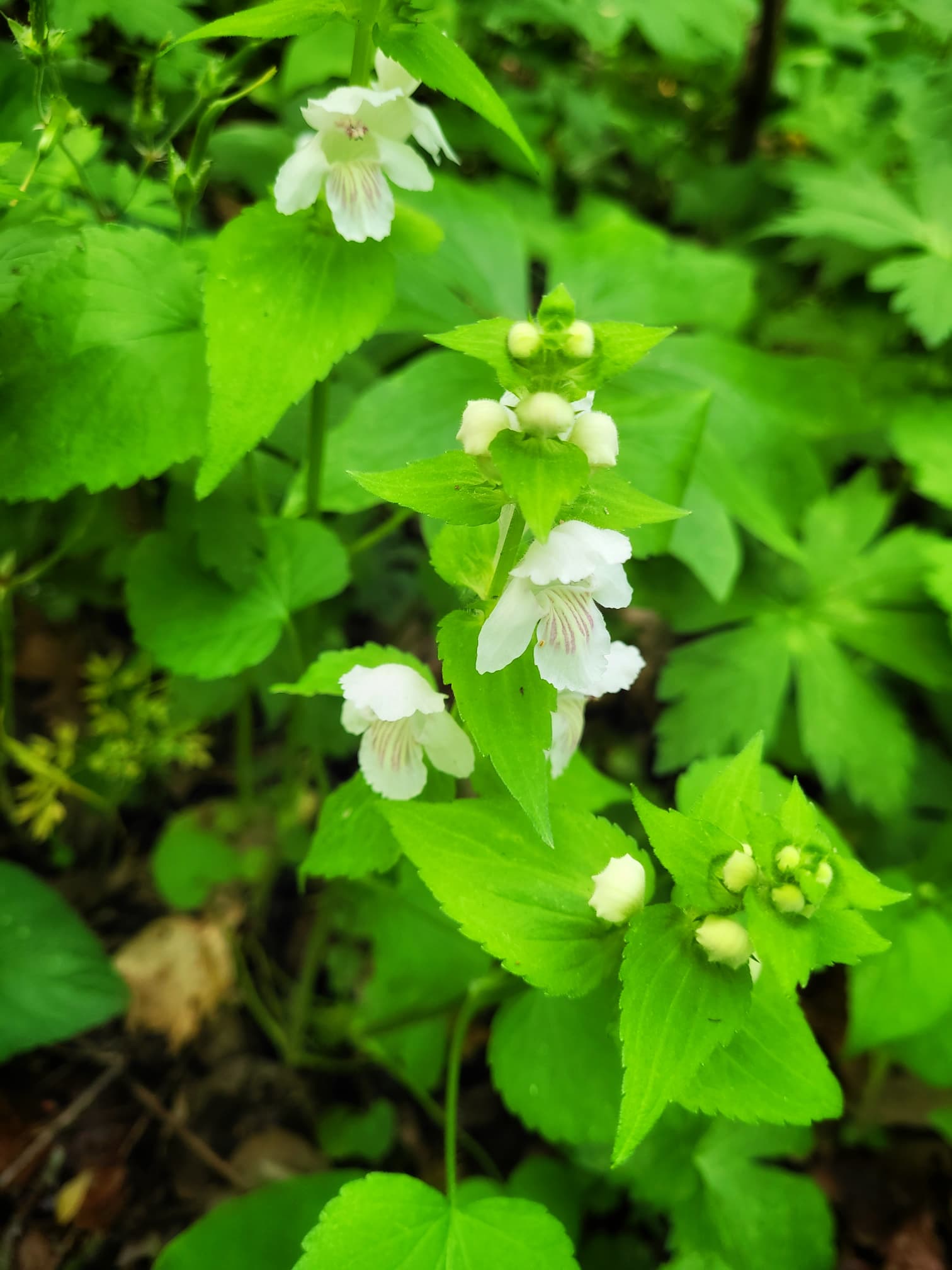
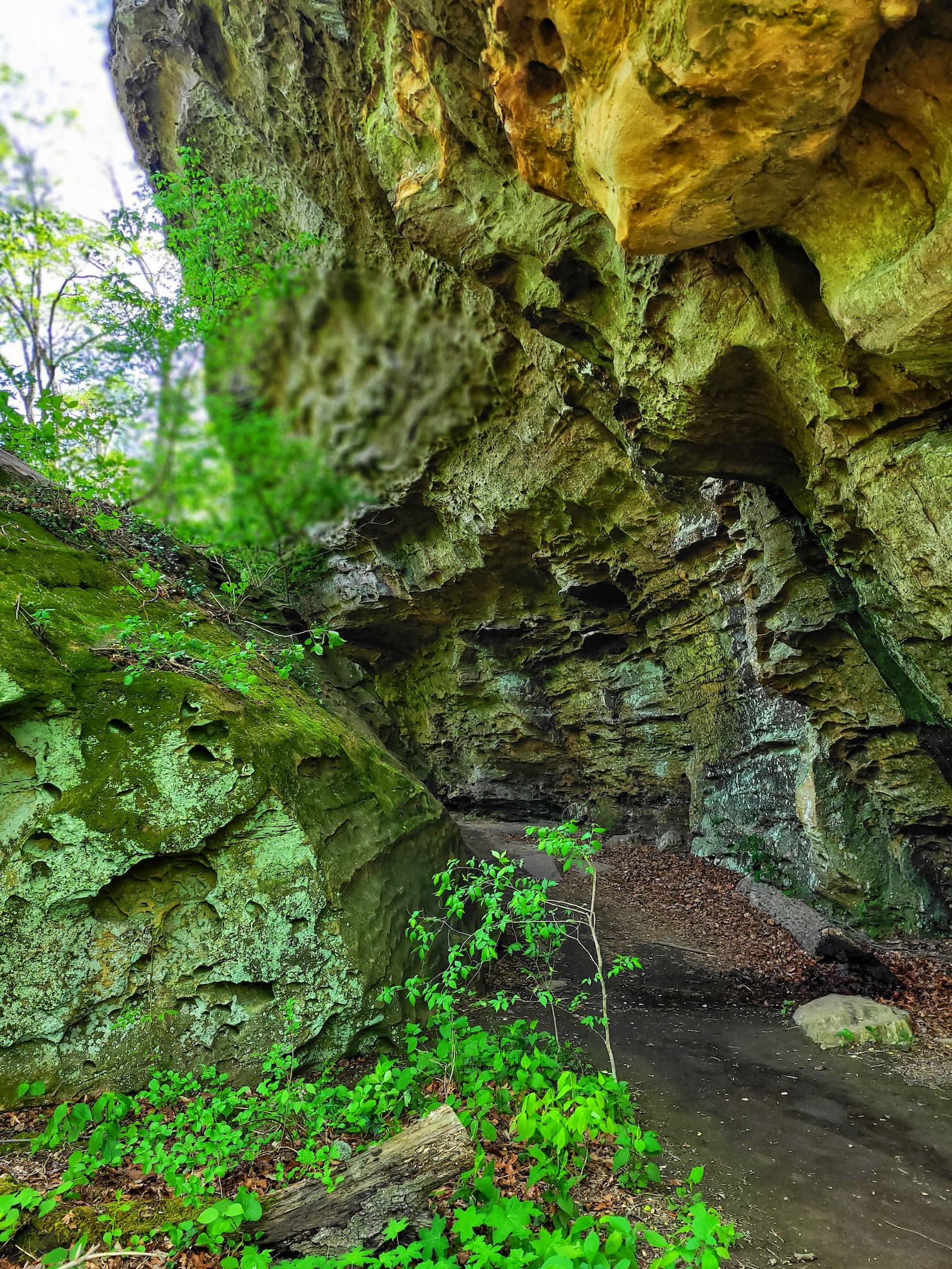
The trail is part of the Fern Rocks Nature Preserve, a 110-acre protected area known for its high-quality forests and towering sandstone bluffs that rise 80–100 feet above the forest floor. This preserve, dedicated in 1973, is home to some rare plant life, including two endangered species: large white-flowered mint and grove bluegrass. It’s also a fantastic spot for birdwatching, with plenty of woodland species flitting through the trees. Keep an eye out for CCC-era graffiti on some of the rocks, a quirky reminder of the park’s human history. In fact, two plant species were first discovered here: Forbes’ saxifrage and French’s shooting star, adding to the trail’s reputation as a hidden gem for nature lovers. Whether you’re here for the flowers, the geology, or the peaceful forest vibes, Trillium Trail is a rewarding hike any time of year.
Equestrian Trail
There are 2 options for those looking to ride horses at Giant City State Park. If you don’t have your own horse, the Giant City Stables offers guided trails rides. If you do have your own horse, you can explore the 12 mile long Equestrian Trail.
The Equestrian Trail at Giant City State Park is the perfect way for horseback riders to explore the park’s rugged beauty. Open from May 1 to October 31, this trail winds around the park’s perimeter, passing sandstone bluffs, forested ravines, and rolling hills. It’s a dedicated horse trail, meaning hikers won’t be sharing the path, and it’s designed to give riders a scenic and peaceful backcountry experience. The trail can be accessed from the Equestrian Campground on the south end of the park, which offers 25 Class A campsites exclusively for those with horses. There are also day-use parking areas in the campground for riders just visiting for the day.
Along the way, there are hitching posts near the Giant City Lodge, making it easy to stop for a meal before heading back out on the trail. A few important rules: horses must stay on the designated equestrian trail (even though it crosses paths with the Red Cedar hiking trail), no alcohol is allowed, and horses cannot be tied to trees to help protect the park’s natural landscape. Whether you’re camping overnight or just taking a scenic ride, the Equestrian Trail offers a unique way to experience Giant City’s incredible scenery from the saddle.
Other Activities at Giant City State Park
There is so much more to do at Giant City State Park including rock climbing, fishing, hunting, archery, and picnicking. There is a visitor center, lodge, cabins, and Class A campground too!
Check out more in our previous post: Exploring the Wonders of Giant City State Park: Guide and Review


We are Amazon and Alltrails affiliates, meaning we earn commission on qualifying purchases.


